Bhubaneswar, Aug. 20: Odisha is likely to face another spell of widespread rainfall over the coming days, with a fresh low-pressure area expected to develop over the Bay of Bengal around August 22, according to the Regional Meteorological Centre in Bhubaneswar.
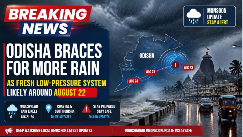
Representational Image
The emerging weather system could trigger increased rainfall activity across several parts of the state, particularly western, northern and coastal Odisha.
Rainfall Activity to Increase
The weather office has indicated that rainfall intensity may increase from Friday and continue across several parts of Odisha through August 25.
For the next 24 hours, light to moderate rain is expected in parts of Keonjhar, Mayurbhanj, Bhadrak and Balasore. While showers are likely to remain scattered, some locations could experience brief spells of heavier rain.
Yellow Warning Issued
A yellow warning has been issued for 14 districts for Friday as authorities keep a close watch on the developing weather conditions.
The warning comes as several parts of Odisha are already dealing with the effects of persistent rainfall and flooding. Another spell of heavy rain could worsen waterlogging and create additional difficulties in vulnerable areas.
Flood-Prone Areas on Alert
Residents in low-lying and flood-prone areas have been advised to remain vigilant as rainfall activity is expected to pick up.
With some villages still affected by floodwaters, particularly in northern Odisha, the possibility of fresh heavy rain has raised concerns over further inundation and disruption to normal life.
Authorities are expected to continue monitoring the situation as the low-pressure system develops over the Bay of Bengal and its likely impact on Odisha becomes clearer.
